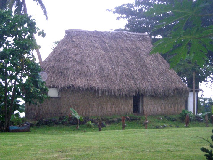
 Fulanga Traditional Bure House |
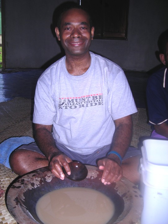 Sam with Kava Bowl |
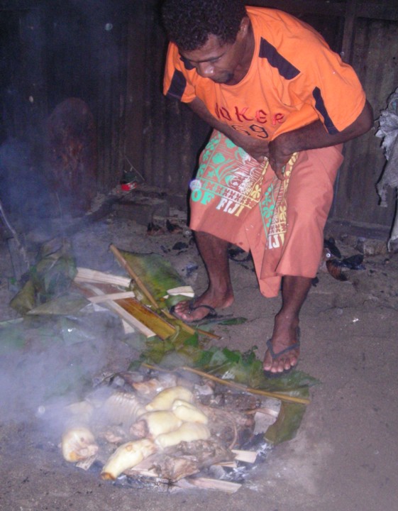 Lovo oven |
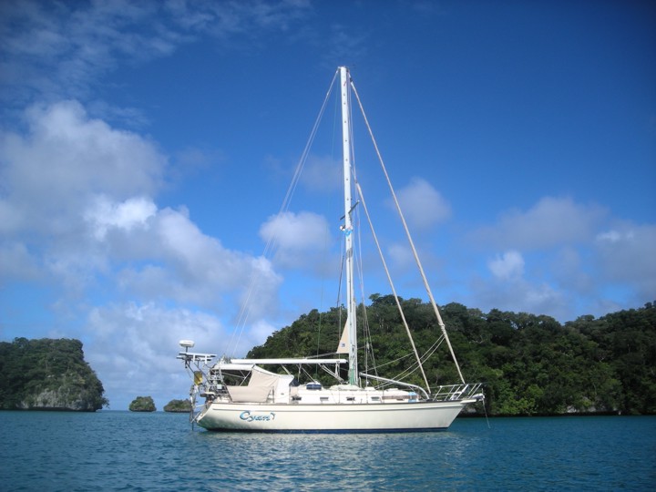
We came into the reef by the Adavaci Passage on the west because we were coming from the SW and
it worked out fine. Only one beacon on the SE part of pass. Our Raymarine Navionics Gold chart
plotter was off by almost ˝ mile at this island after being so close on the rest of the Lau islands.
Approach Pt from sea WP: 17deg 13.616S 179deg 01.096W
We passed Vanuahaloa Island on starboard and went north to Bay of Islands. We heard a radio call but
thought it was from Lomaloma on the other side of the main island. We couldn’t see a village. It was
from Daliconi to our East behind an island. They own Bay of Islands and we were supposed to have
checked in there first and had sevusevu and got a permit, $25 Fiji each person for 30 days anchoring.
It was still well worth it. This village is not named on the chart. We went back 4 days later after
Bay of Islands visit to pay. I told them I would spread the word so they wouldn’t have to send a boat
out to each cruiser to tell them about the permit.
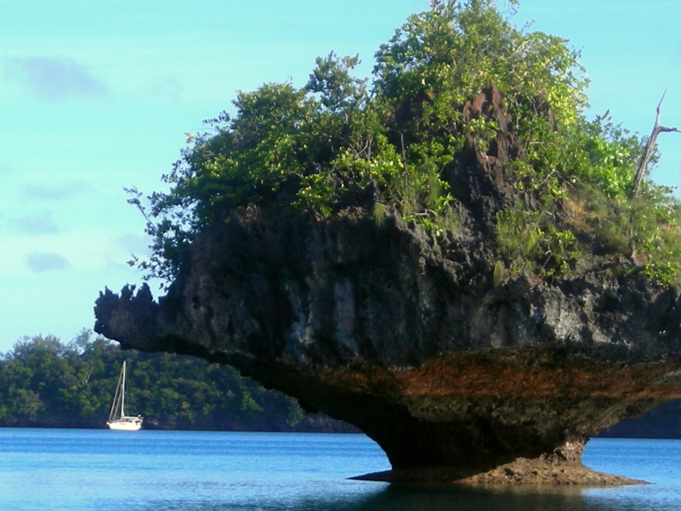
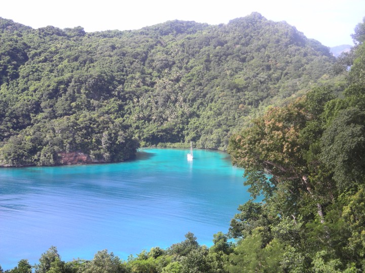
DON’T LET THIS DETER YOU! Bay of Islands was one of our favorite places in all Pacific!!! It was a
playground and we were all alone. We were the 3rd boat in Daliconi Village this year after last year
when they had 22 boats by this time.
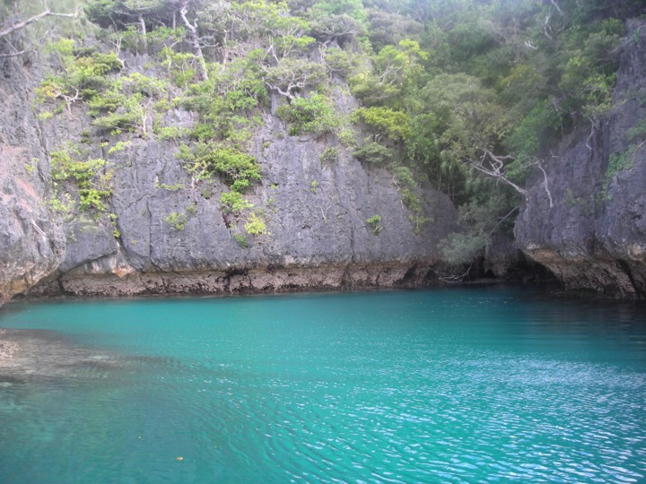
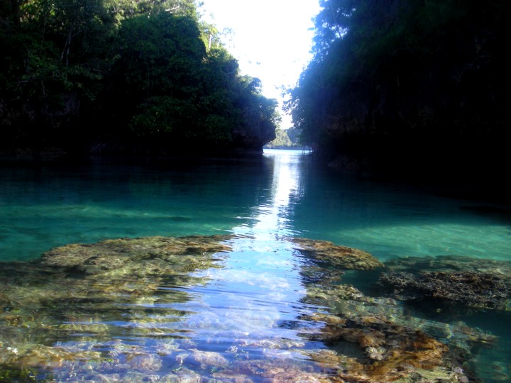
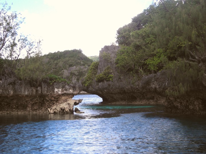
Our first anchorage in Bay of Islands was the 10 meter deep cove on Calders we called Chuncky Rock Cove.
We stayed 3 nights exploring all kinds of hidden nooks and coves in our kayak and snorking mostly on
shelves due to the depths.
Anc in 22’ close to steep S wall in OK holding WP: 17deg 10.876S 179deg 01.334W
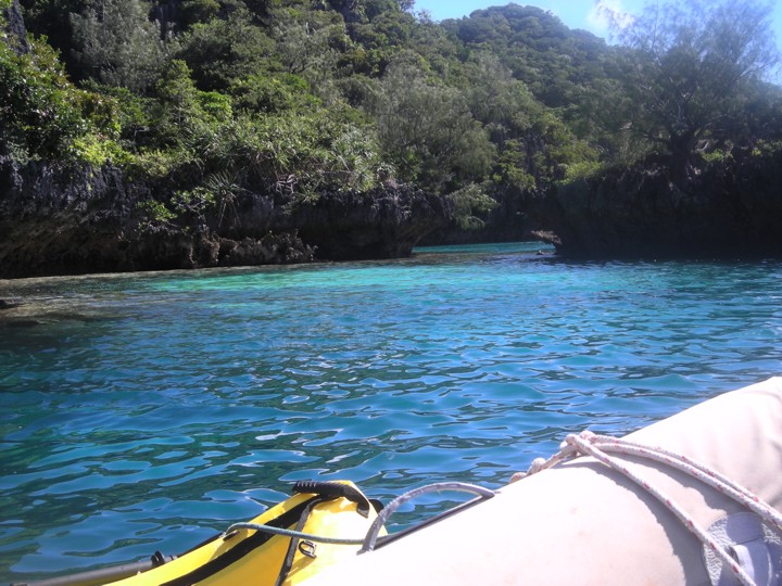
For our 4th day we anchored in Ship Sound. The passage there was exactly as Calders says
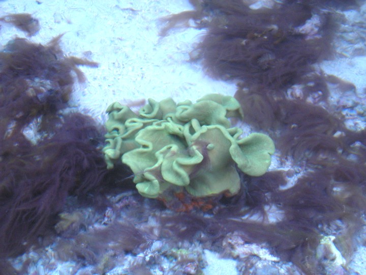
with good visibility. The best snorkeling was on a large head between Ship Sound and the
larger bay north, right in the middle. Apparently mid pass has the most nutritious location
for sealife with the water flow. We saw loads of huge fruit bats roosting and flying around.
Ship Sound anchorage in 25’ good holding WP: 17deg 10.049S 179deg 00.918W
Passage through the Reef
Mid-pass WP: 17deg 13.550S 179deg 00.805W
Pt on NW reef where other Beacon should be WP: 17deg 13.456S 179deg 01.035W
SW shoally side to avoid WP: 17deg 13.621S 179deg 01.229W
Daliconi Village WP: 17deg 13.140S 178deg 57.400W
Anc in 28-34’ good but rocky holding WP: 17deg 13.175S 178deg 57.983W
S of Vanuahaloa Isl WP: 17deg 13.243S 178deg 59.722W
Our 5th day we anchored at the village getting our permit and had dinner with a family there.